A GPX file holds everything about your route: coordinates, altitude and time. Analysing it before a race gives you a genuine tactical edge that most runners simply leave on the table. This is the full guide, updated for the tools TrackLAB offers today.
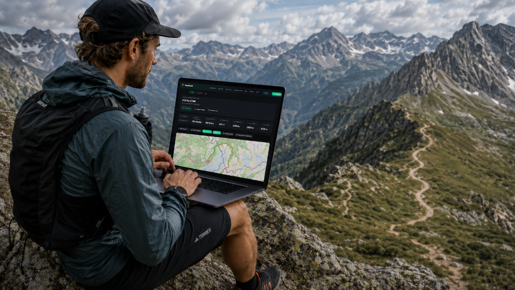
What a GPX file is
The GPX (GPS Exchange Format) format is the universal standard for GPS data. Devices like Garmin, Suunto, Polar and Coros all use it to export routes and activities. It contains the latitude, longitude, altitude and timestamp of every point recorded.
Why analyse it before the race
- You get to know the real terrain. A 2D map won't show you where the hard work is concentrated; the profile and the gradients will.
- You spot the psychologically tough sections. Knowing that km 50-70 is relentless descent and km 70-100 is a sustained climb is tactical gold.
- You work out a realistic finish time based on your weight, your level and the fatigue you'll have banked, not on your flat-ground pace.
- You plan nutrition and hydration against specific hours and kilometres.
- You check the cut-offs before you enter, or before you set off.
Step by step in TrackLAB
1. Upload the GPX
Download the official race GPX and drag it into the analyser. You can also paste a URL from Wikiloc, Komoot or Suunto.
2. Check the core metrics
Actual distance, elevation gain and loss, maximum altitude and the TrackLAB difficulty score (0-100). It's the elevation, not the distance, that tells you how hard a race is.
3. Read the profile through its three layers
- Slopes: colours the route by gradient (flat, moderate/steep climb, moderate/steep descent). It shows you where you'll run and where you'll walk.
- Climbs: automatically finds and categorises the climbs that decide your day, with their length, elevation gain and starting kilometre.
- Zones: splits the route into altitude bands, which matters a lot if you're going to spend hours up high.
You switch them on one at a time, and tapping a segment highlights it on the map as well.
4. Open RouteLAB
It breaks the route into consistent segments with an expected pace for each, and flags things automatically along the lines of "62% of the elevation gain is in the first half".
5. Open BioCenter
It translates the route into what it will actually cost your body: total load, time in each zone, accumulated fatigue, calories and hydration. Your profile needs your weight and level filled in.
6. Open your Race Strategy
Pick what kind of day it is (rough day, solid day or good day) and you'll get kilometre-by-kilometre paces and split times, an hour-by-hour fuelling plan, the weather at the real altitude and time of each point, your kit list, and your margin at every official cut-off. The whole thing is explained in what Race Strategy is and how it works.
7. Download the dossier
Export the analysis and the plan as a PDF so you can take it to the race briefing the day before, or keep it in your pocket on race day.
Common mistakes
- Trusting the official distance alone: the GPX usually differs by 5-8%.
- Not checking the maximum altitude (it affects available oxygen and temperature).
- Ignoring the D−: it's the descents that wreck your quads.
- Estimating times from your flat-ground pace instead of your real profile.
Summary
Analysing the GPX before a race is the difference between running blind and running to a plan. Ten minutes in TrackLAB can save you hours of suffering on race day, or a DNF.